Basic Info
Basic Information
|
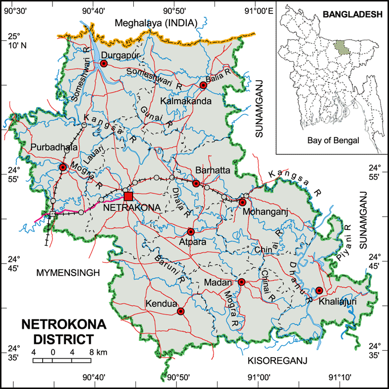
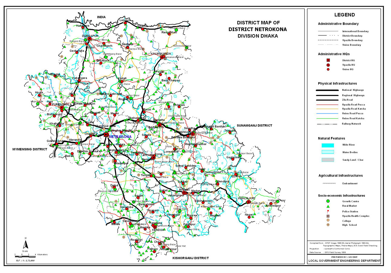
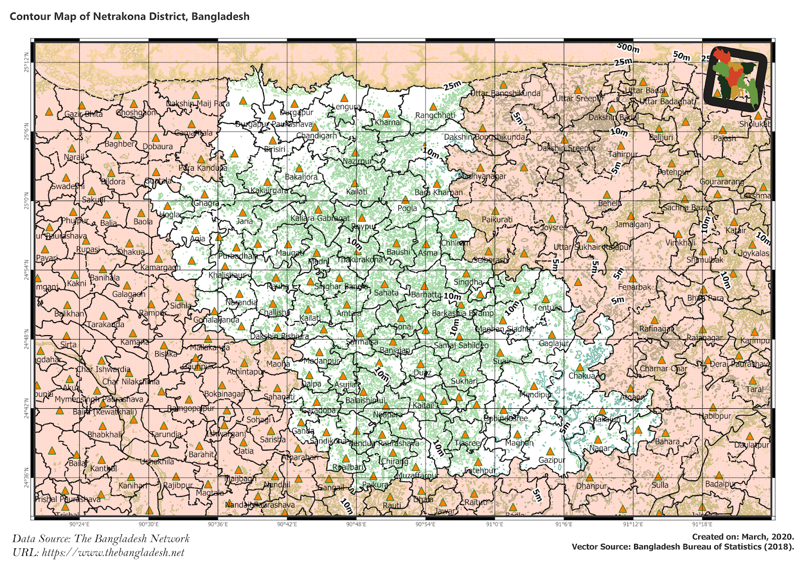
| Netrokona District (Mymensingh division) with an area of 2,810.40 sq km, is bounded by Garo Hills of Meghalaya (India) on the north, kishoreganj district on the south, sunamganj district on the east and mymensingh district on the west. Annual temperature; Average maximum 33.3 oC and minimum 12 oC. Total rainfall 2174 mm. Main rivers are Someshwari, Kangsha, Magra, Dhanu, Dhala, Teorkhali. |
At a Glance
|
| Area: |
2,810.40 Km2 |
| Upazila Road: |
620.74 Km |
| Union Road: |
859.37 Km |
| Village Road: |
2008.83 Km VA |
| 1555.24 Km VB |
| Population: |
19,71,240 |
| Density: |
708 per Km2 |
| Literacy: |
34.9 % |
| Upazilas: |
10 |
| Union: |
86 |
| Pourashavas: |
6 |
| Primary Schools: |
1237 |
| High Schools: |
187 |
| Colleges: |
27 |