Barmi Union, Gazipur
Barmi is a union under Sreepur Upazila of Gazipur District with a total area of 51.727 square kilometers. The total population of the union is 52,803 among them 27,122 are male and 25,681 are female.
Map of Barmi of Gazipur District.

Map of Barmi of Sreepur Upazila.
Map Courtesy: The Bangladesh Network.
- Details
Gazipur Union, Gazipur
Gazipur is a union under Sreepur Upazila of Gazipur District with a total area of 45.205 square kilometers. The total population of the union is 36,305 among them 18,304 are male and 18,001 are female.
Map of Gazipur of Gazipur District.

Map of Gazipur of Sreepur Upazila.
Map Courtesy: The Bangladesh Network.
- Details
Kaoraid Union, Gazipur
Kaoraid is a union under Sreepur Upazila of Gazipur District with a total area of 54.589 square kilometers. The total population of the union is 42,781 among them 21,876 are male and 20,905 are female.
Map of Kaoraid of Gazipur District.

Map of Kaoraid of Sreepur Upazila.
Map Courtesy: The Bangladesh Network.
- Details
Gosinga Union, Gazipur
Gosinga is a union under Sreepur Upazila of Gazipur District with a total area of 54.348 square kilometers. The total population of the union is 28,888 among them 14,498 are male and 14,390 are female.
Map of Gosinga of Gazipur District.

Map of Gosinga of Sreepur Upazila.
Map Courtesy: The Bangladesh Network.
- Details
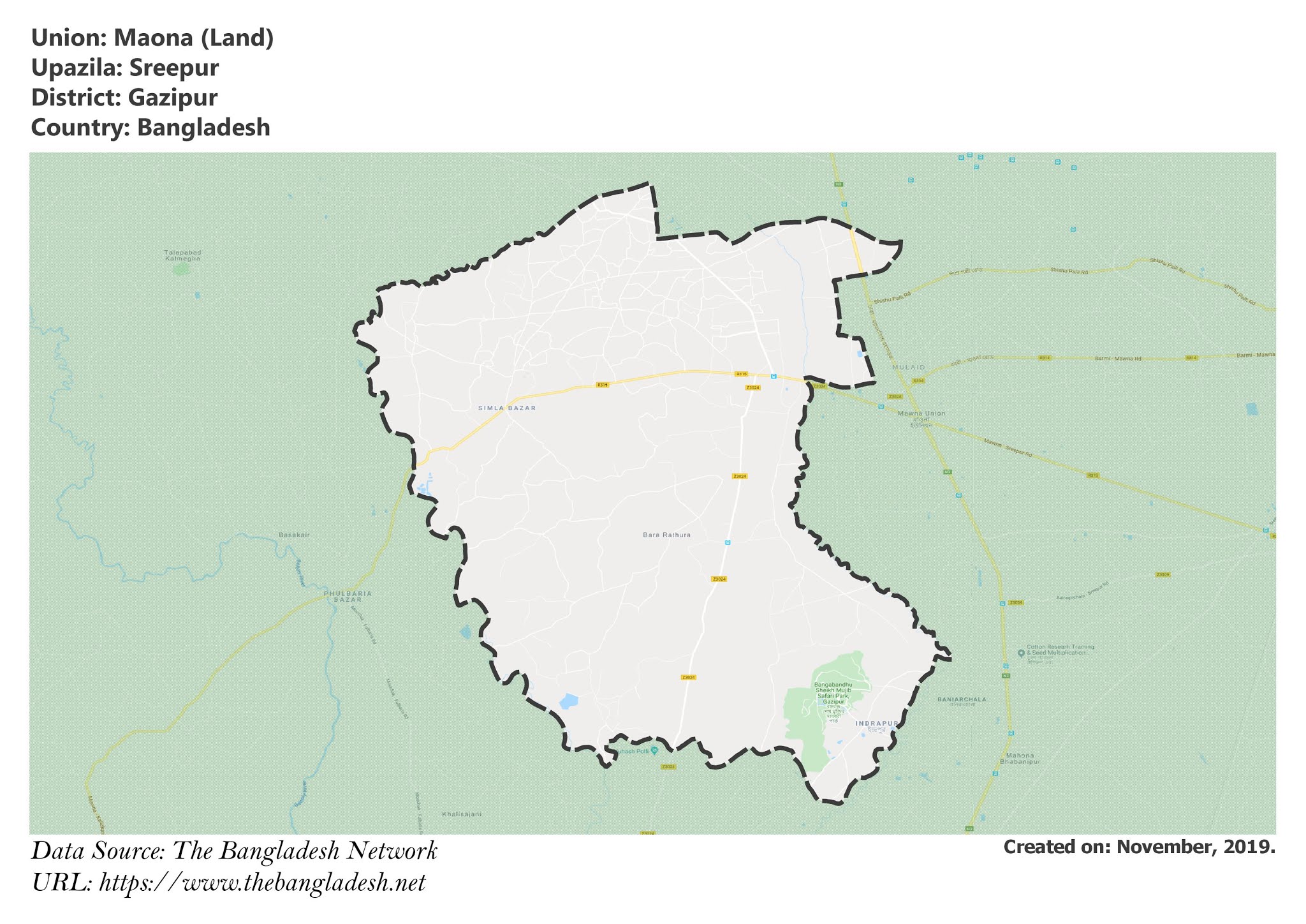
Maona Union, Gazipur
Maona is a union under Sreepur Upazila of Gazipur District with a total area of 79.427 square kilometers. The total population of the union is 33,393 among them 16,919 are male and 16,474 are female.
Map of Maona of Gazipur District.

Map of Maona of Sreepur Upazila.
Map Courtesy: The Bangladesh Network.
- Details
