Bandaber Union, Kurigram
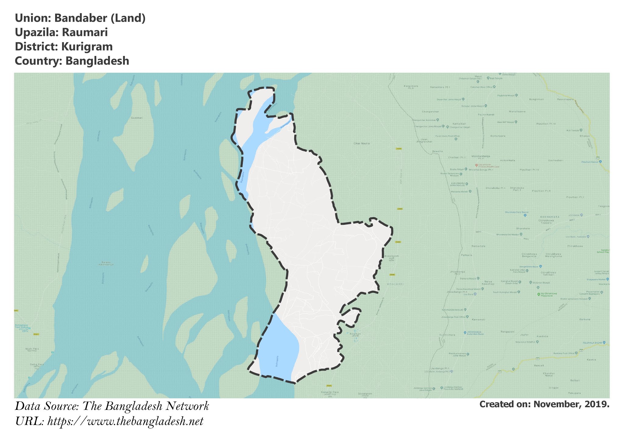
Bandaber is a union under Rowmari Upazila of Kurigram District with a total area of 60.048 square kilometers. The total population of the union is 42,604 among them 21,044 are male and 21,560 are female.
Map of Bandaber of Kurigram District.

Map of Bandaber of Rowmari Upazila.
Map Courtesy: The Bangladesh Network.
- Details
Dantbhanga Union, Kurigram
Dantbhanga is a union under Rowmari Upazila of Kurigram District with a total area of 44.601 square kilometers. The total population of the union is 32,637 among them 16,404 are male and 16,233 are female.
Map of Dantbhanga of Kurigram District.

Map of Dantbhanga of Rowmari Upazila.
Map Courtesy: The Bangladesh Network.
- Details
Rowmari Union, Kurigram
Rowmari is a union under Rowmari Upazila of Kurigram District with a total area of 37.021 square kilometers. The total population of the union is 38,419 among them 19,439 are male and 18,980 are female.
Map of Rowmari of Kurigram District.

Map of Rowmari of Rowmari Upazila.
Map Courtesy: The Bangladesh Network.
- Details
Jadur Char Union, Kurigram
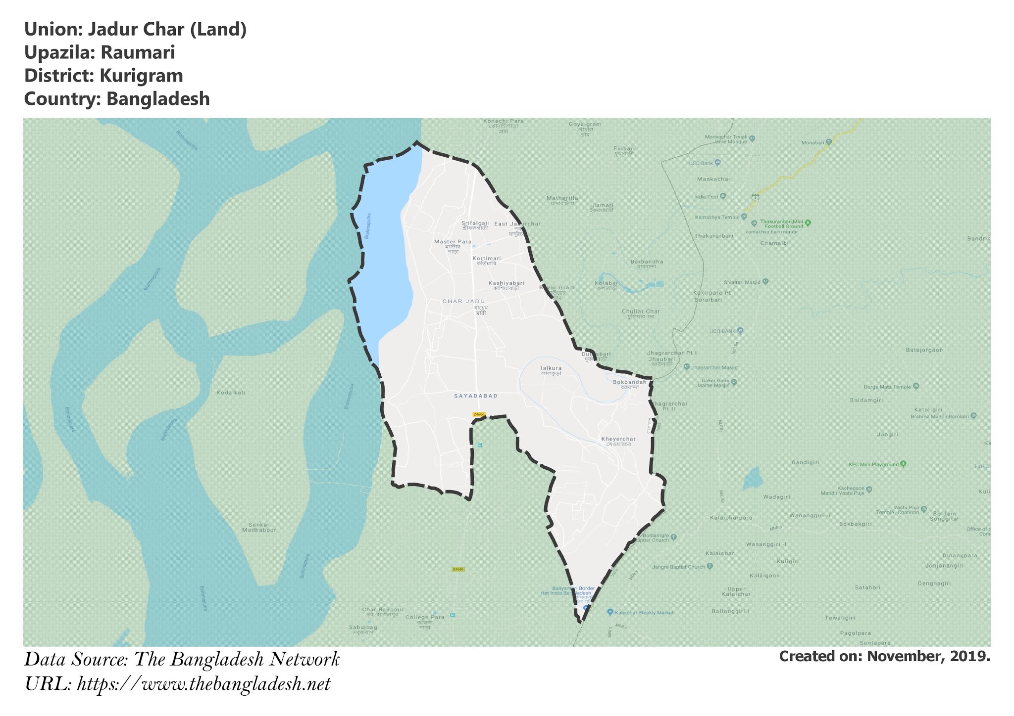
Jadur Char is a union under Rowmari Upazila of Kurigram District with a total area of 35.499 square kilometers. The total population of the union is 29,512 among them 14,368 are male and 15,144 are female.
Map of Jadur Char of Kurigram District.

Map of Jadur Char of Rowmari Upazila.
Map Courtesy: The Bangladesh Network.
- Details
Saulmari Union, Kurigram
Saulmari is a union under Rowmari Upazila of Kurigram District with a total area of 24.564 square kilometers. The total population of the union is 22,643 among them 11,442 are male and 11,201 are female.
Map of Saulmari of Kurigram District.

Map of Saulmari of Rowmari Upazila.
Map Courtesy: The Bangladesh Network.
- Details
