Itakumari Union, Rangpur
Itakumari is a union under Pirgacha Upazila of Rangpur District with a total area of 23.4 square kilometers. The total population of the union is 26,255 among them 13,426 are male and 12,829 are female.
Map of Itakumari of Rangpur District.

Map of Itakumari of Pirgacha Upazila.
Map Courtesy: The Bangladesh Network.
- Details
- Written by Mahamudul Hasan
Kaikuri Union, Rangpur
Kaikuri is a union under Pirgacha Upazila of Rangpur District with a total area of 29.415 square kilometers. The total population of the union is 32,547 among them 16,226 are male and 16,321 are female.
Map of Kaikuri of Rangpur District.

Map of Kaikuri of Pirgacha Upazila.
Map Courtesy: The Bangladesh Network.
- Details
- Written by Mahamudul Hasan
Kandi Union, Rangpur
Kandi is a union under Pirgacha Upazila of Rangpur District with a total area of 23.66 square kilometers. The total population of the union is 27,413 among them 13,671 are male and 13,742 are female.
Map of Kandi of Rangpur District.

Map of Kandi of Pirgacha Upazila.
Map Courtesy: The Bangladesh Network.
- Details
- Written by Mahamudul Hasan
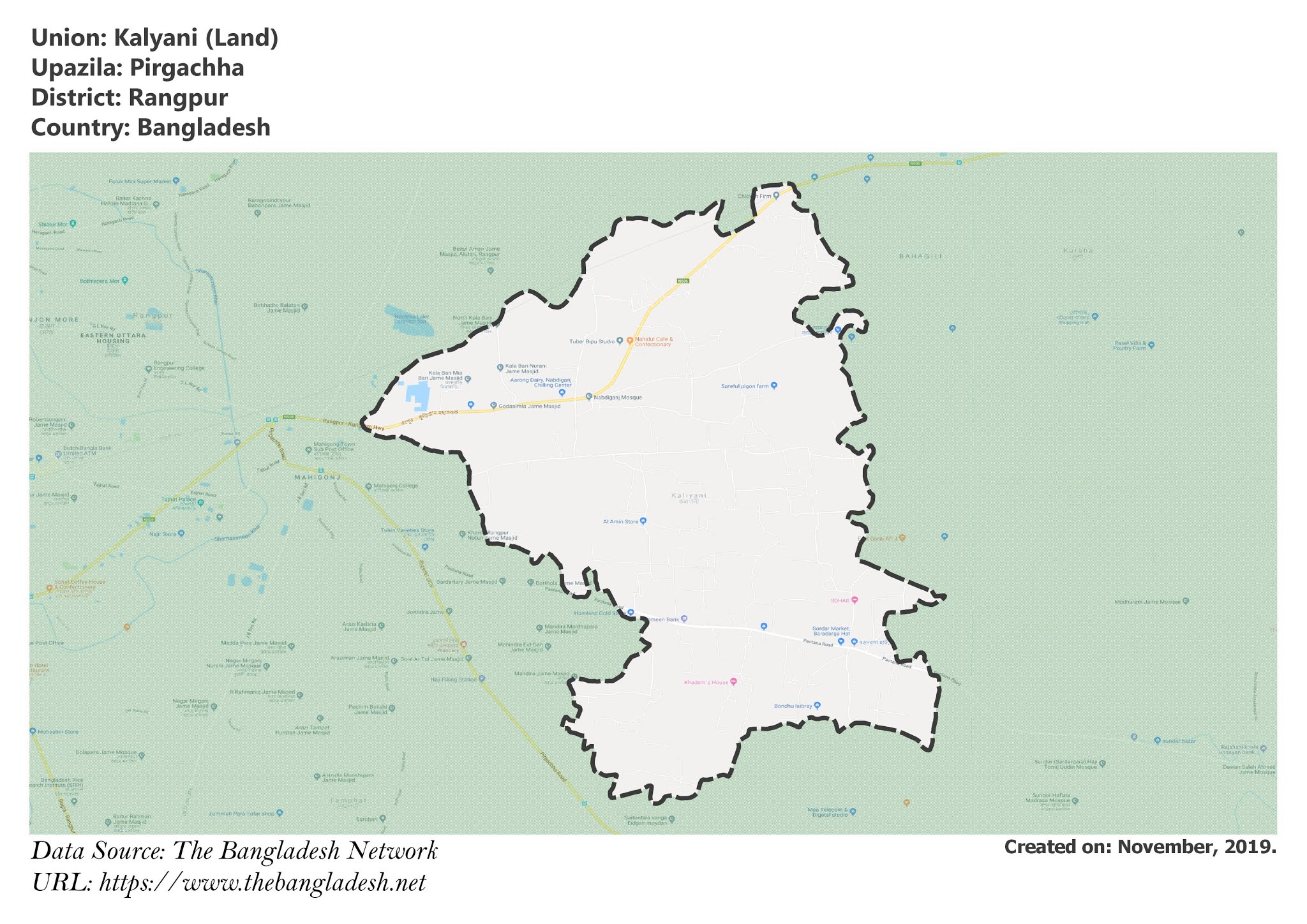
Kalyani Union, Rangpur
Kalyani is a union under Pirgacha Upazila of Rangpur District with a total area of 19.754 square kilometers. The total population of the union is 23,999 among them 12,391 are male and 11,608 are female.
Map of Kalyani of Rangpur District.

Map of Kalyani of Pirgacha Upazila.
Map Courtesy: The Bangladesh Network.
- Details
- Written by Mahamudul Hasan
Parul Union, Rangpur
Parul is a union under Pirgacha Upazila of Rangpur District with a total area of 33.884 square kilometers. The total population of the union is 36,810 among them 18,841 are male and 17,969 are female.
Map of Parul of Rangpur District.

Map of Parul of Pirgacha Upazila.
Map Courtesy: The Bangladesh Network.
- Details
- Written by Mahamudul Hasan
